
cl_maintenanceAndUpdateFrequency
asNeeded
27 record(s)
Type of resources
Available actions
Provided by
Years
Formats
Representation types
Update frequencies
Status
Scale
-

The resource was developed by NEXANT (EEUU) for ECREEE using 3TiER global dataset. The methodology is explained in the resource below available for downloading. Dataset is available in raster format (.geotiff) with a resolution of 3,5 km.
-
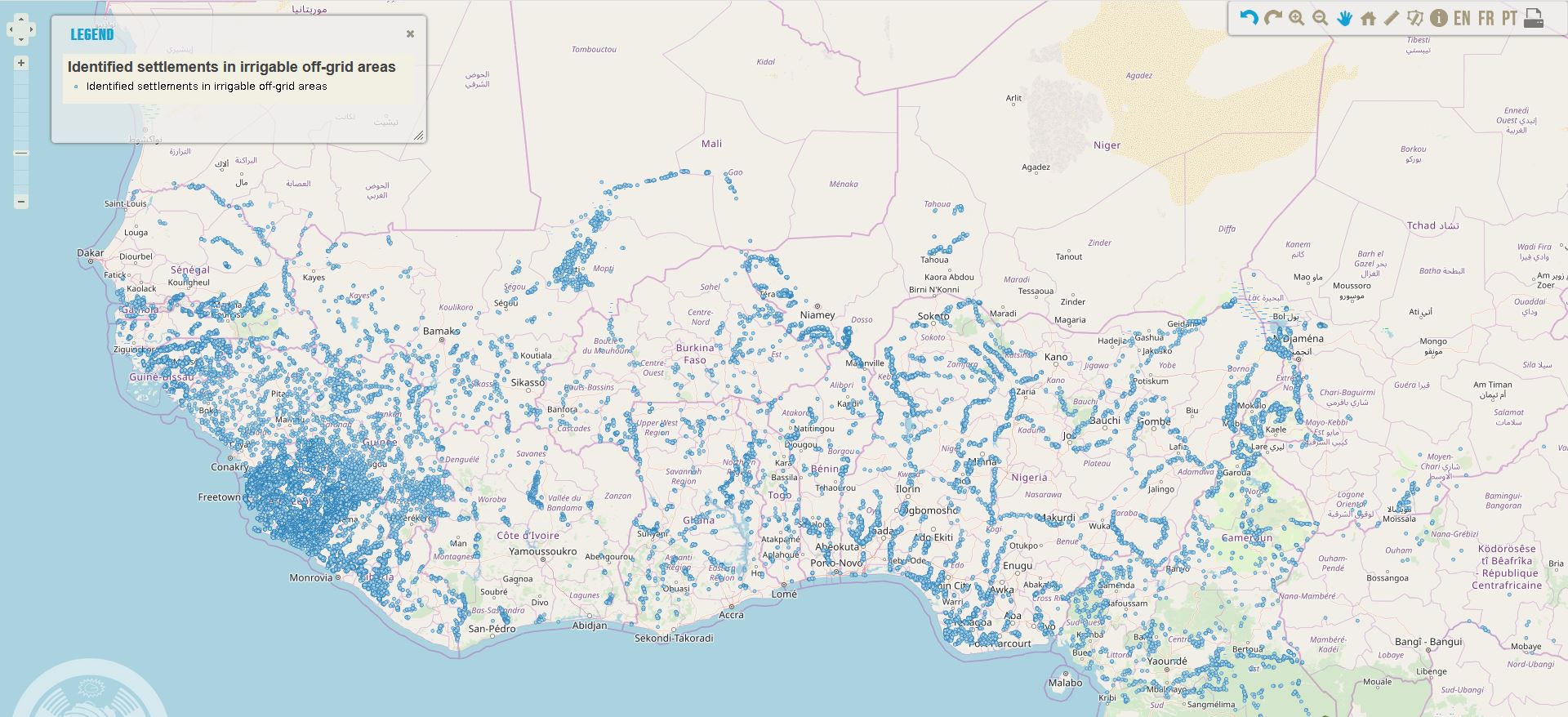
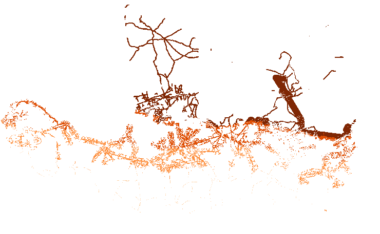
Location of settlements in West Africa in identified irrigable off-grid areas in 2018, that could still be in off-grid areas in 2023 according to the least-cost analysis conducted in the framework of the off-grid solar market assessment and private sector support facility design, which was done as an activity of the sub-component 1A of the Regional Off-Grid Electrification Project (ROGEP).
-
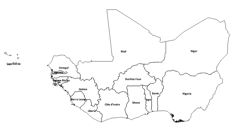
National administrative boundaries of ECOWAS countries: Benin, Burkina Faso, Cabo Verde, Côte d'Ivoire, Gambia, Ghana, Guinea, Guinea Bissau, Liberia, Mali, Niger, Nigeria, Senegal, Sierra Leone and Togo
-

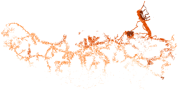
Location of settlements that could have access to electricity through off-grid solutions by 2030 according to the least-cost analysis conducted in the framework of the off-grid solar market assessment and private sector support facility design, which was done as an activity of the sub-component 1A of the Regional Off-Grid Electrification Project (ROGEP).
-

The suitability maps, contain information on locations suitable for installation of the respective solar systems in accordance with the restrictive criteria adopted. Locations are evaluated according to their suitability for solar systems deployment according to topographical, legal, and social constraints, as well as factors that could facilitate or impede solar generation development. The study is conducted on a regional scale. The results can be used for identification of potential areas of interest for solar generation deployment, and as a support for integration between electricity grid expansion and off-grid electrification policies.
-
The layer provides quantitative information about the inhabitants main points in the different countries for the ECOWAS region
-
This dataset was generated using GIS methods to estimate technical potential for solar electricity generation in rural areas of ECOWAS region. Technical potential of solar generation in a chosen area may be defined as the amount of the total yearly solar radiation available in that area, taking into account existing geographical constraints, ("suitability maps") that can be converted into electricity given the available solar power technologies. Technical potentials in GWh per year per cell at 1km resolution have been calculated by multiplying DNI (or GHI) for the technical parameters (performance, efficiency) related to CSP or PV, and for the available area. The available area was estimated using for: - CSP (grid connected) only cells with land suitability score > 302 (5% of total cells) - PV (grid connected) only cells with land suitability score > 299 (5% of total cells) - PV (off grid) only cells with land suitability score > 255 (5% of total cells)
-
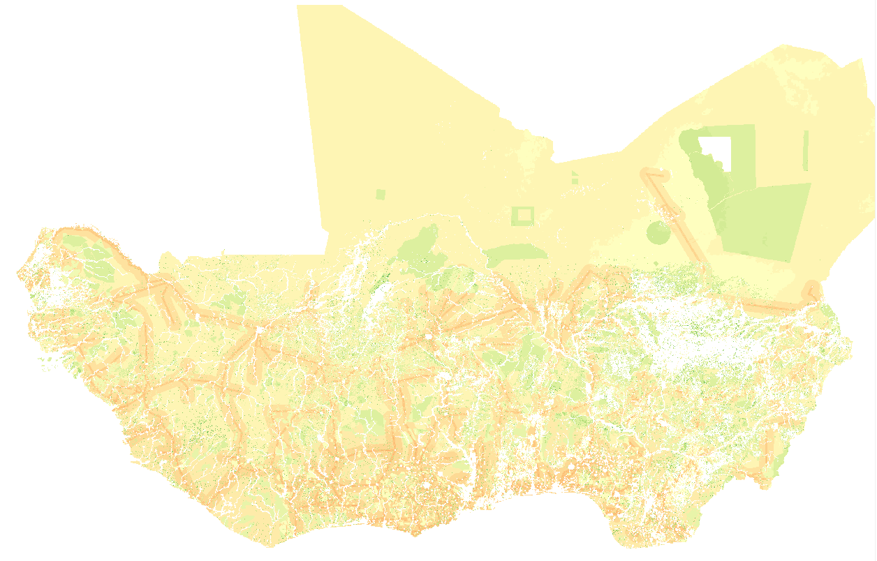
The suitability maps, contain information on locations suitable for installation of the respective solar systems in accordance with the restrictive criteria adopted. Locations are evaluated according to their suitability for solar systems deployment according to topographical, legal, and social constraints, as well as factors that could facilitate or impede solar generation development. The study is conducted on a regional scale. The results can be used for identification of potential areas of interest for solar generation deployment, and as a support for integration between electricity grid expansion and off-grid electrification policies.
-
This dataset was generated using GIS methods to estimate technical potential for solar electricity generation in rural areas of ECOWAS region. Technical potential of solar generation in a chosen area may be defined as the amount of the total yearly solar radiation available in that area, taking into account existing geographical constraints, ("suitability maps") that can be converted into electricity given the available solar power technologies. Technical potentials in GWh per year per cell at 1km resolution have been calculated by multiplying DNI (or GHI) for the technical parameters (performance, efficiency) related to CSP or PV, and for the available area. The available area was estimated using for: - CSP (grid connected) only cells with land suitability score > 302 (5% of total cells) - PV (grid connected) only cells with land suitability score > 299 (5% of total cells) - PV (off grid) only cells with land suitability score > 255 (5% of total cells)
-
This dataset was generated using GIS methods to estimate technical potential for solar electricity generation in rural areas of ECOWAS region. Technical potential of solar generation in a chosen area may be defined as the amount of the total yearly solar radiation available in that area, taking into account existing geographical constraints, ("suitability maps") that can be converted into electricity given the available solar power technologies. Technical potentials in GWh per year per cell at 1km resolution have been calculated by multiplying DNI (or GHI) for the technical parameters (performance, efficiency) related to CSP or PV, and for the available area. The available area was estimated using for: - CSP (grid connected) only cells with land suitability score > 302 (5% of total cells) - PV (grid connected) only cells with land suitability score > 299 (5% of total cells) - PV (off grid) only cells with land suitability score > 255 (5% of total cells)